

Marine safety research
A traceable life jacket for small-scale fishermen
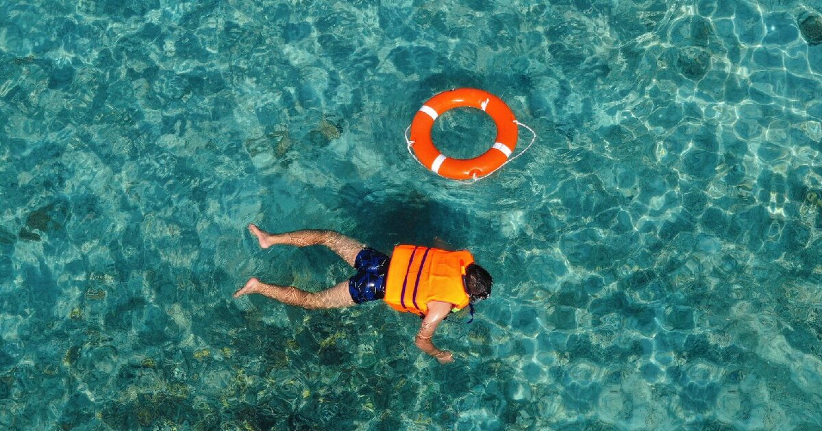
The Department of Marine Science and Technology at IPB University, Indonesia, has developed a LoRa-based long-range traceable life jacket system to enhance the safety of small-scale fishermen.
It is a new development in marine safety, and Thinger.io is part of it: the research project uses the platform to receive, store and display the position of every life jacket in real time.
The problem
Locating fishermen during a sea emergency
The system addresses a critical need: tracking the locations of fishermen during sea emergencies.
It relies on LoRa, a technology that allows long-distance communication of up to 15 km, so the coordinates of the fishermen are reliably transmitted and monitored.

Research utility
What the system brings to fishermen and rescuers
Fishermen safety
Remote monitoring
Efficient and durable
Key results
Almost 13 km of range and six hours of battery
What the tests of the transmitter showed.
- 12.983 km
- effective transmission range
- with consistent RSSI values
- 5.99 h
- of continuous operation for the transmitter
- time for rescue operations
The LoRa link achieved effective transmission up to 12.983 km with consistent RSSI values, and the transmitter ran for up to 5.99 hours of continuous operation, ample time for a rescue operation. On the receiving side, the Thinger.io platform provides live map views and data logging, which makes the monitoring easier to follow.

The hardware
- Transmitter (life jacket)
- ESP8266Ebyte E22 LoRaNEO-M8M GPS
- Power and controls
- PowerbankPower switchSOS switch
- Electronics box
- 13 × 8 × 7 cm
- Receiving station
- ESP32 on WiFi, uploading to Thinger.io
As labelled in the figures of the publication.
On Thinger.io
How Thinger.io is used
The platform gives the research a user-friendly interface for real-time data visualization and monitoring.
Real-time data transmission
Data buckets
Live mapping
Dashboard customization


Conclusions
LoRa suits open water, where nothing stands in the way
The study used a LoRa-based long-range tracked life jacket instrument with a GPS module to obtain and transmit coordinate positions. The results show that the RSSI weakens with distance and with obstructions such as trees, which suggests LoRa suits marine areas without surface obstacles.
The LoRa module reached a maximum distance of 12,983 meters. Future research aims to develop smaller instruments with custom antennas that keep the same transmission capability.
Read the full study
The design of the life jacket, the range tests and the Thinger.io setup, as published by IPB University.