
The study
High-resolution hydrological data from remote areas, in real time
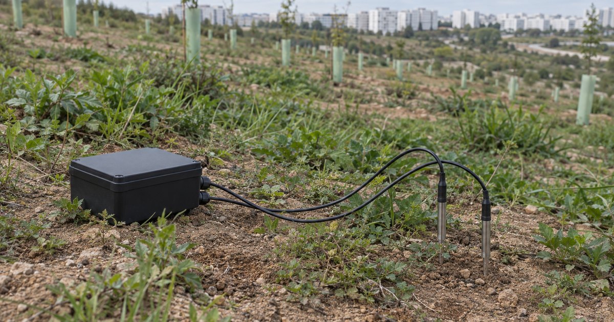
Effective water resource management is increasingly vital due to climate changes and environmental challenges. A novel cloud-based system using Thinger.io and NB-IoT technology enables real-time monitoring of soil moisture and water levels, providing high-resolution data from remote areas: the NB-IoT Hydrological Monitoring System.
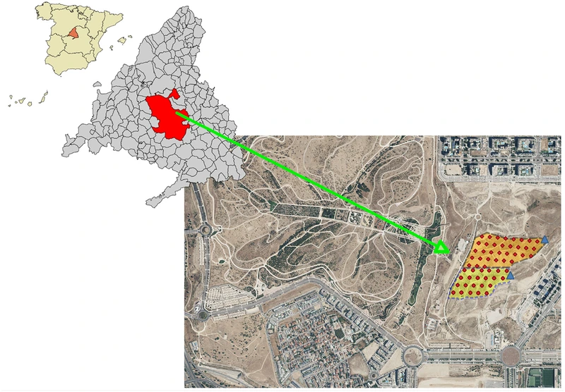
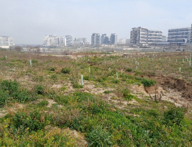
This breakthrough offers an efficient, scalable solution for addressing long-standing issues in hydrological monitoring. The solution has been tested in two regions in Spain, using dense sensor networks to measure both soil moisture and water levels. The main goal was to develop an efficient, low-cost monitoring solution for challenging environments, providing real-time data on hydrological processes. By integrating NB-IoT with the Thinger.io cloud platform, the system overcame traditional issues like low connectivity and high energy consumption.
The same network is on this site as a case study, UPM and UC3M: hydrology measured sensor by sensor, with the findings of the study in numbers.
The problem
What does it solve?
Traditional hydrological monitoring struggles with sparse data collection, low spatial resolution and connectivity issues in remote areas.
This new system, developed in collaboration with the University Polytechnic of Madrid and the University Carlos III of Madrid, along with Thinger.io cloud integration, provides a comprehensive and real-time solution to these challenges. It enables timely tracking of hydrological events, thus optimizing water management and aiding in flood prevention and agricultural planning.
Why it matters
What real-time hydrological data is used for
Real-time hydrological monitoring has become essential for addressing challenges across various sectors.
Precise data on soil moisture and water levels improve water resource management, thus helping to optimize agricultural irrigation, prevent floods and create more sustainable urban plans. By constantly tracking these processes, authorities can implement effective strategies to mitigate climate change impacts, such as droughts and extreme weather events.
Climate science
Water management
Agricultural monitoring
Flood prevention
Urban planning
Drought mitigation
Key results
What the field trials showed
The system demonstrated excellent performance in field trials, with sensors providing reliable data transmission and optimized battery life through Thinger.io.
Key findings include:
- High spatial and temporal data accuracy.
- Successful operation in remote areas with low connectivity.
- Extended battery life with efficient energy consumption management, optimized via Thinger.io.
- Real-time data accessible via Thinger.io's cloud platform for immediate analysis.


The hardware
An NB-IoT node built on the Thinger.io toolkit
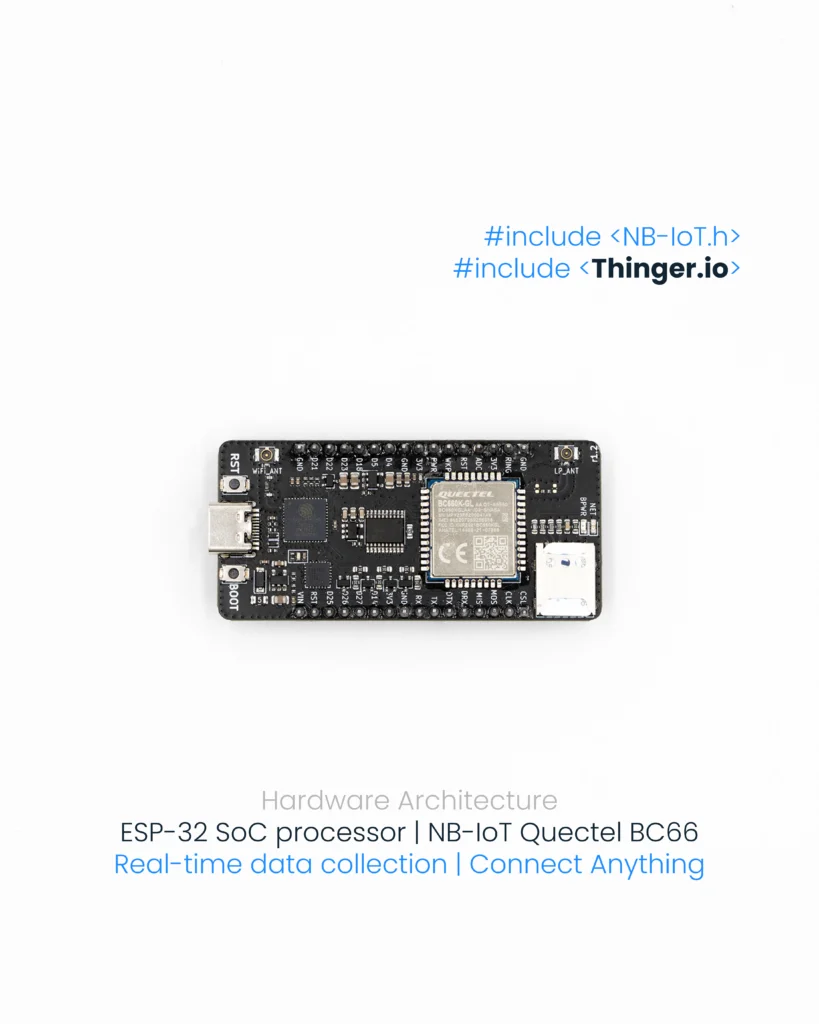
The core of the devices is an IoT development toolkit manufactured by Thinger.io, which gives the flexibility to create hardware prototypes tailored to the requirements of a project.
The toolkit is built around an ESP-32 System-on-Chip (SoC) processor, which combines Wi-Fi and Bluetooth capabilities, and also integrates a modem with NB-IoT capability from Quectel. The processor manages data acquisition via general-purpose ports with 12-bit SAR ADC functionality in order to collect data from the soil moisture and water level probes.

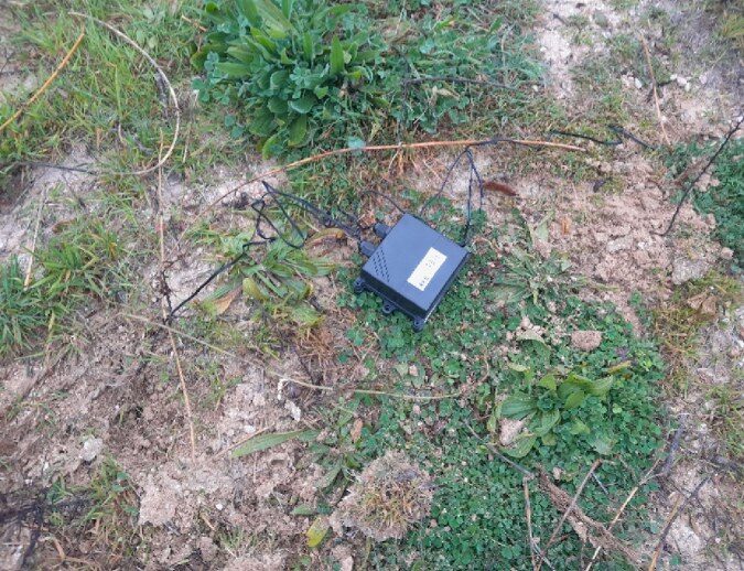

Two kinds of sensor
- Soil moisture sensors: equipped with two independent probes wired through a Resistor-Capacitor (RC) circuit, allowing for reading calibration and analog noise reduction.
- Water level sensors: use an A02YYUW ultrasonic sensor operating at 40 kHz, therefore providing sufficient accuracy to measure distances between 25 and 30 cm.
The units are powered by 3.7 V, 3400 mAh rechargeable lithium batteries. Solar panels were not used, to allow more flexibility in field deployment.
The node at a glance
- Core
- IoT development toolkit manufactured by Thinger.io
- Processor
- ESP-32 System-on-Chip, with Wi-Fi and Bluetooth
- Connectivity
- NB-IoT modem from Quectel
- Data acquisition
- General-purpose ports with 12-bit SAR ADC
- Soil moisture
- Two independent probes wired through an RC circuit
- Water level
- A02YYUW ultrasonic sensor, 40 kHz, 25 to 30 cm
- Power
- 3.7 V, 3400 mAh rechargeable lithium battery
- Solar panels
- Not used, for more flexibility in field deployment
The platform
How Thinger.io is used
Thinger.io played a crucial role in managing the data collection and transmission from the sensor network.
The platform is used to:
Sensor auto-provision
Configurable sleep times
Data transmission and visualization
Dashboards and monitoring
Error handling and optimization
What the data looks like
Three figures of the study, from the calibration of the probes to how closely the two probes of a node agree with each other over time.


Conclusions
A scalable, low-cost solution for hydrological studies
The study demonstrated the effectiveness of the custom-designed hydrological monitoring system using Thinger.io.
By combining NB-IoT connectivity, cloud infrastructure and efficient sensor design, the system delivered accurate, real-time data on soil moisture and water levels, thus improving data reliability. As a result, it improved monitoring efficiency. Remote management of sensors enhanced battery performance while ensuring continuous data transmission, even in remote areas.
This monitoring system offers a scalable and low-cost solution for hydrological studies, enabling better water resource management and environmental monitoring.
Read the full study
The sensors, the network and the Thinger.io integration, as published by the research teams of the two universities.